The Glaciers got here first May 30, 2019
The glaciers got there first
The Catskill Geologists
Robert and Johanna Titus
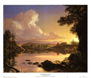
Have you been to the Walkway across the Hudson at Poughkeepsie? It’s a pedestrian bridge that, high up in the sky, crosses the river; We promise you, it’s quite the experience. But, opening next week, is something just as good and a lot closer. That’s the Hudson River Skywalk. The Skywalk also spans the Hudson, this time across the Rip Van Winkle Bridge. In so doing, it links two important historic sites: Frederic Church’s onetime home, Olana, and Cedar Grove, the Thomas Cole Historic Site. The new trail extends from Cedar Grove, across the bridge. and then it ascends the hill to Olana. Can there be a “theme’ to a walkway? If so, with this one it’s the Hudson River School of Art. Cole and Church were that “School’s” two leading lights.
We said that the Skywalk was just as good as the Walkway, but maybe we can write about something that makes it even better. If you get a chance and you head out over the Hudson, we would like you to look and see how steep the slopes are on either side. We are talking about the slope just beneath the western end of the bridge and the other slope just beneath Olana. That steepness is something that is not always easy to take notice of, but it is important. Shouldn’t there be a floodplain? Rivers are supposed to flow across broad, flat floodplains, aren’t they? So, why not here?
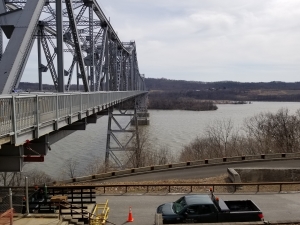
The Skywalk –
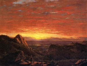
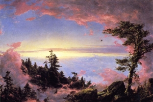
We got to thinking about that and came up with an answer, a good geological answer. Halfway across the bridge we looked east and west and then north. In our mind’s eyes we saw a glacier. It was perhaps 14,000 years ago and, for the most recent time, an ice age glacier was advancing down the Hudson Valley. That glacier rubbed up against the slopes on both sides of the river. Glaciers can be very erosive and this one was no exception. It cut into Church Hill where Olana is perched. That would greatly improve the view that Frederic Church would eventually paint. It also cut into the western side of the river. All this erosion left no room for any kind of floodplain. Instead, it formed a rather boxy valley with a sizable river flowing down a surprisingly narrow pathway. You probably never noticed this, did you? Well, go out onto the Skyway and take a look.
The official opening is set for June 1st. People will congregate at Olana and at Cedar Grove. Each group will set out on a “parade” to the Skywalk Trail. If all goes well, they will all meet at the middle of the bridge. There will be a ribbon cutting at the park near the bridge’s toll plaza at noon. We don’t think there will be a golden spike, but it should be a fun event.
Plans may change so before going, you should contact Cedar Grove at thomascole.org or Olana at olana.org. Contact the authors at randjtitus@prodigy.net.
Go to the Olana or Cedar Grove websites for details.
 Typical ball and pillar structure
 Bearsville fan is dotted