THE CATSKILLS ART HISTORIANS?? BY PROFESSORS ROBERT AND JOHANNA TITUS
Remember the Geologies
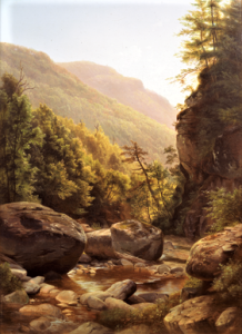
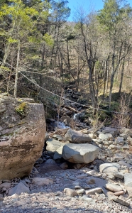
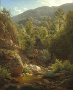
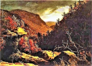
We have been following in the footsteps of two Hudson River School artists these past few weeks. Those were Paul Weber and his student, Harriet Cany Peale. See our photos, courtesy of Wikimedia Commons. They painted here in 1858. We have found evidence that the two of them visited Kaaterskill Clove together that year and painted some very fine canvases – very likely on the same day. This column has done a lot of work like this sort of thing in recent months. There seems to be a real danger that we should call our column The Catskill Art Historians.” This has, in fact, made for some pretty unusual writing for a geology column, but we think there are good reasons for pursuing all this.
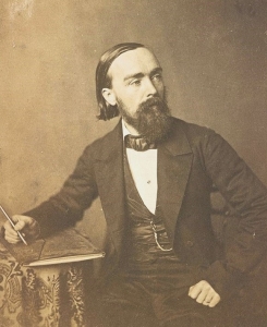
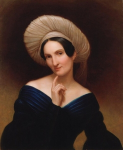
The two of us can’t remember when we were not fond of the Hudson River School, but in recent years, we have seen that we can play a direct role in the academic studies of this great art. That has come about for several reasons. We have found that a lot of those paintings were done without recording details about their locations. Weber mentioned the Catskills and Peale mentioned Kaaterskill Clove in their two painting titles, but these are very big places. Their titles left out the exact locations. We feel that it is important for us, if we can, to precisely locate those images. We have been all over the Catskills so, frequently, we just recognize these locations. That was the case with our March 8th column. We looked at a painting by Thomas Cole and knew where to go and confirm where we thought he had painted. Similarly, we knew where to look for Harriet Peale’s painting. We had been there several times and knew her boulders quite well. In other cases, we are able to read the geology from the paintings and use what we have learned to locate the image on a map and then go exploring to find where they were painted. That was the case on March 15th when we discovered another Thomas Cole site. We saw that he had sketched just east of the floor of Glacial Lake Kiskatom. We just had to get a good map out to find where that was. That was easy for us; it just took minutes, but we just can’t imagine how a non-geologist could have done the same.
But there is another, more important reason for this work and these columns. We geologists should flesh out how ice age history fits in with landscape art. We think that art historians would have a much richer appreciation for what they are studying if they understood the ice age backgrounds of their art. We can share what we know with them and perhaps bridge an important gap. This may be, in effect, a whole new field of study in landscape art. So, we are going to continue on this theme. You will hear more this summer.
Contact the authors at randjtitus@prodigy.net. Join their facebook page “The Catskill Geologist.” Read their blogs at “thecatskillgeologist.com.”
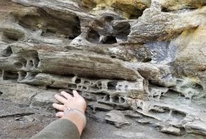
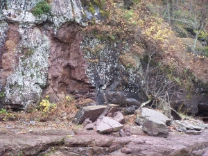
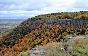 Thacher Park