First published in 2009
Grand Canyon on Catskill Creek
Windows Trough Time
Robert Titus

The Grand Canyon is certainly the very greatest scenic wonder of the world. It is a breath taking gash in the landscape of the American southwest. We, it goes without saying, cannot match it in our neck of the woods. But we do have some pretty good scenery around here, and they are all helped a good bit when we see them in our “windows through time.” I would like you to pay some attention to a very nice local canyon. I am speaking of Austin Glen, which is crossed by Rt. 23, just west of the village of Catskill.
Today it’s a little harder to see this canyon than it used to be. Several years ago the highway, along this stretch of the road, sprouted a host of “No Parking” signs. It’s dangerous to slow down on a highway such as this, so it is not easy to legally catch a good view of the glen unless you park quite some distance up the road and hike to the bridge. It’s worth it.
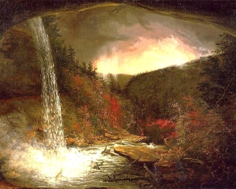
The bridge lies at about 230 feet above sea level and the bottom of the canyon is at about 130 feet so this canyon is only about 100 feet deep. It looks like a lot more, but it is only a mere one 50th of the Colorado River canyon. Still, the walls are quite steep and that makes for a very nice vision. Along those walls and cropping out, on the floor of the canyon, are very nice exposures of the Helderberg Limestone. Those rocks have quite a story to tell; they hearken back to the early Devonian, about 400 million years ago. Those limestones accumulated in a shallow tropical sea called the Helderberg Sea. But that is a story for another day.
My focus today is the Ice Age. That’s when this canyon took on its present morphology. When I got my topographic map out to look over this landscape, my eyes saw that those Helderberg limestones comprise a ridge of rock which once extended across the path of Catskill Creek, right where the highway is. Long ago the creek had to cut its way through this ridge to create the canyon. When did this happen?
Next my eyes were drawn to the six mile length of the creek, starting northeast of the canyon. Here Catskill Creek flowed across a broad flat floodplain, a stretch of creek bottom something entirely unlike that at the canyon. My map labeled this “Sandy Plain” and I am guessing that this is because there is a lot of sand here (we are pretty smart folk, we geologists, don’t you think?). I have had a lot of experience with this sort of feature; it appears to be the flat bottom of an ice age lake.
The shoreline and the water level of this lake lie at about 225 feet in elevation and now things were starting to click. That ridge of limestone, back at Austin Glen, is also at just about that level. I was suddenly guessing that the ridge of rock had, back at the end of the Ice Age, acted as a dam to impound the waters of that lake.
Now, I was looking into my window through time and seeing a great expanse of ice cold water. It was about 14,000 years ago and the Ice Age was ending. There was a lot of meltwater available and much of it was trapped behind the bedrock dam of Austin Glen. The lake was six miles long and a mile wide. It covered all of Sandy Plain.
Off to the north, glaciers were melting and vast quantities of meltwater were cascading down Catskill Creek. The creek was glutted with pounding, foaming torrents of water and this is the stuff of erosion. That ridge lay as an impediment to the flow, but not for long. Limestone is relatively soft rock; it cannot put up much of a fight against the passage of strong currents. The water was dense with sand grains, dirt eroded from upstream. The sandy currents acted as an auger and ground their way into the limestone. In a remarkably short period of time (centuries? – decades?, – who knows?) those currents had carved this wondrous canyon.
I stood on the Rt. 23 Bridge and gazed into time. Below me, but not very far below me, was Catskill Creek at its grandest. There must have been a moment in time when the old creek carried more water than it ever had before, or would ever carry again. This was the moment when the speed of its flow had reached another zenith. And this was the moment when it was at its most erosive. And – I was there – privileged to see it all. Contact the author at titusr@hartwick.edu